
© BioConsult SH
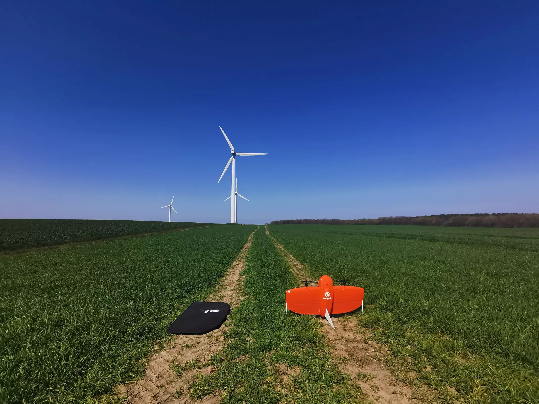
Drone-based aerial surveys
Use of drones allows capturing timely, high-resolution aerial photographs for various purposes.
From survey to evaluation
Onshore and in coastal areas, drone surveys can be used for various purposes:
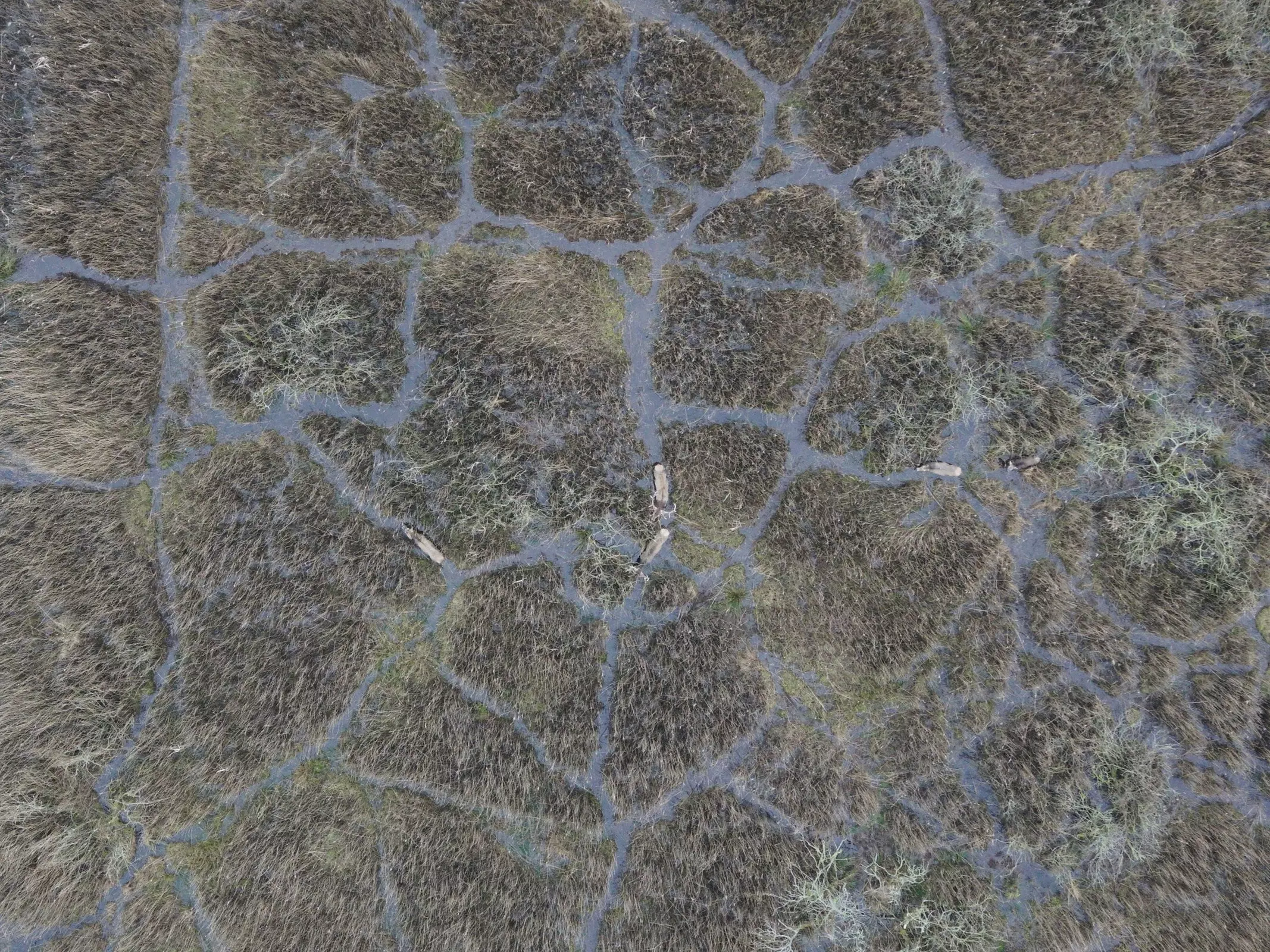
- Biological surveys
- Vegetation mapping
- Supervision of construction and compensation measures
- Land surveying
- Documentation of damages of the crop caused by excess moisture or draught
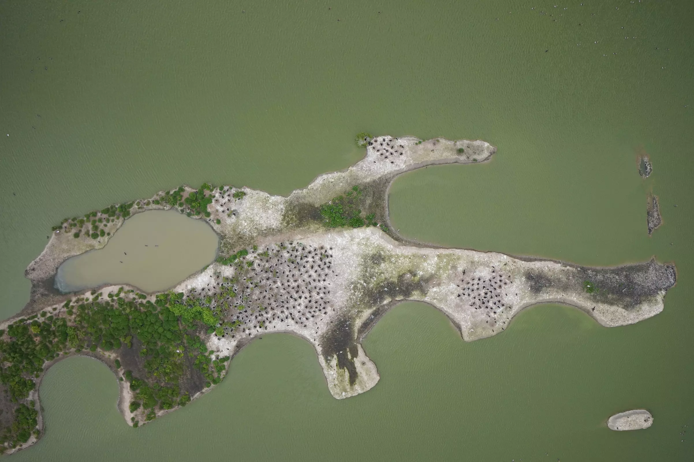
- Biological surveys of marine species (i.e., breeding and resting birds, harbour seals and grey seals)
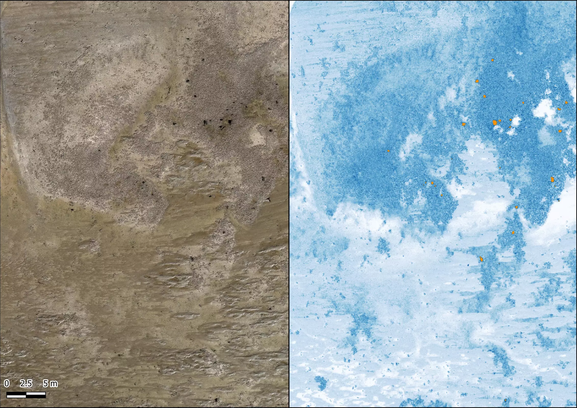
- Mapping of mussel beds and seagrass meadows
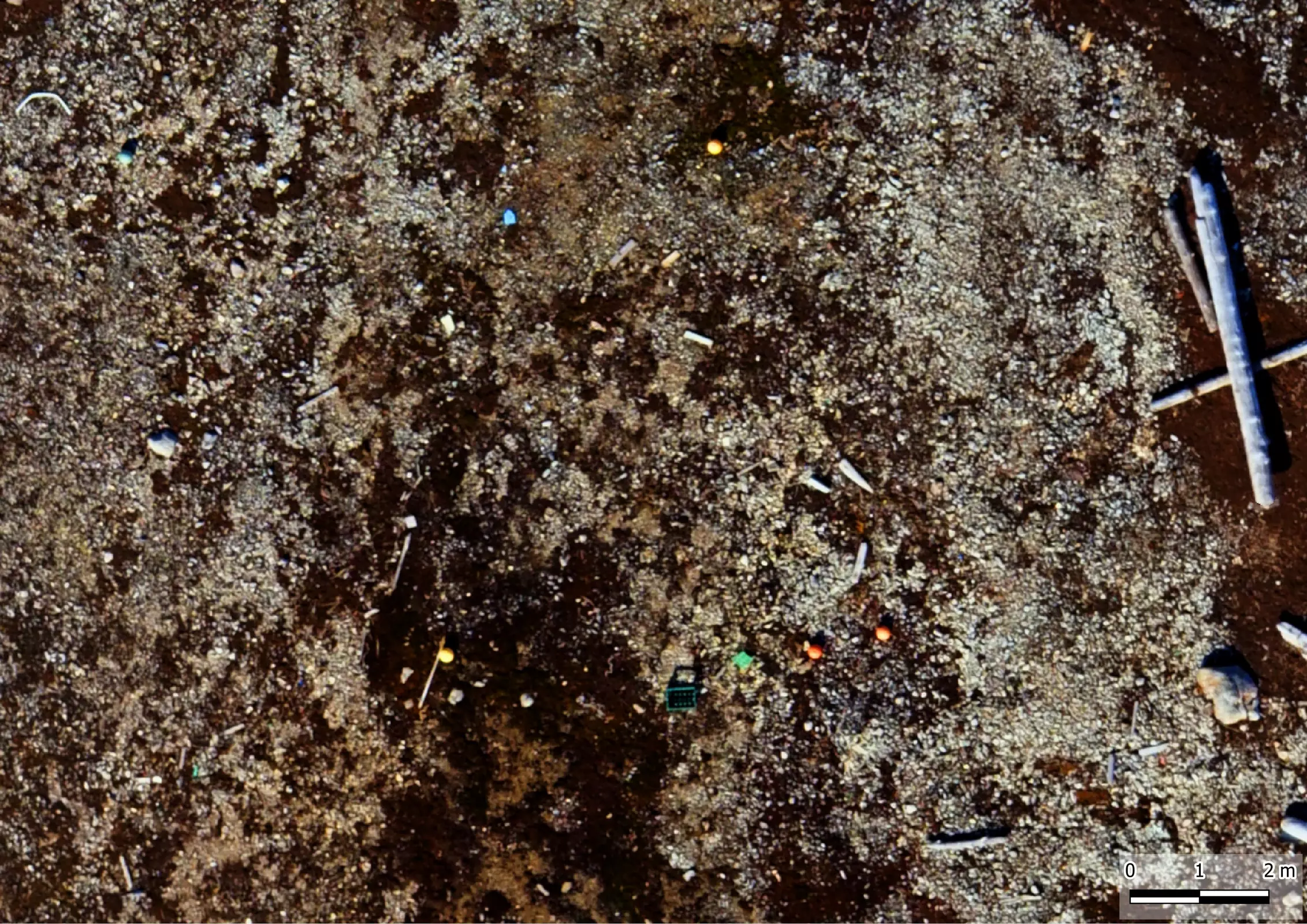
- Beach litter mapping
- Vegetation mapping
- Supervision of construction and compensation measures
- Land surveying
- Surveys of coastal lines, dunes and dikes
© M. Schnurawa
© BioConsult SH
© BioConsult SH

© BioConsult SH
© BioConsult SH
© G. W. Gabrielsen
© BioConsult SH
© BioConsult SH
© BioConsult SH
The use of drones allows a wide range of surveys.
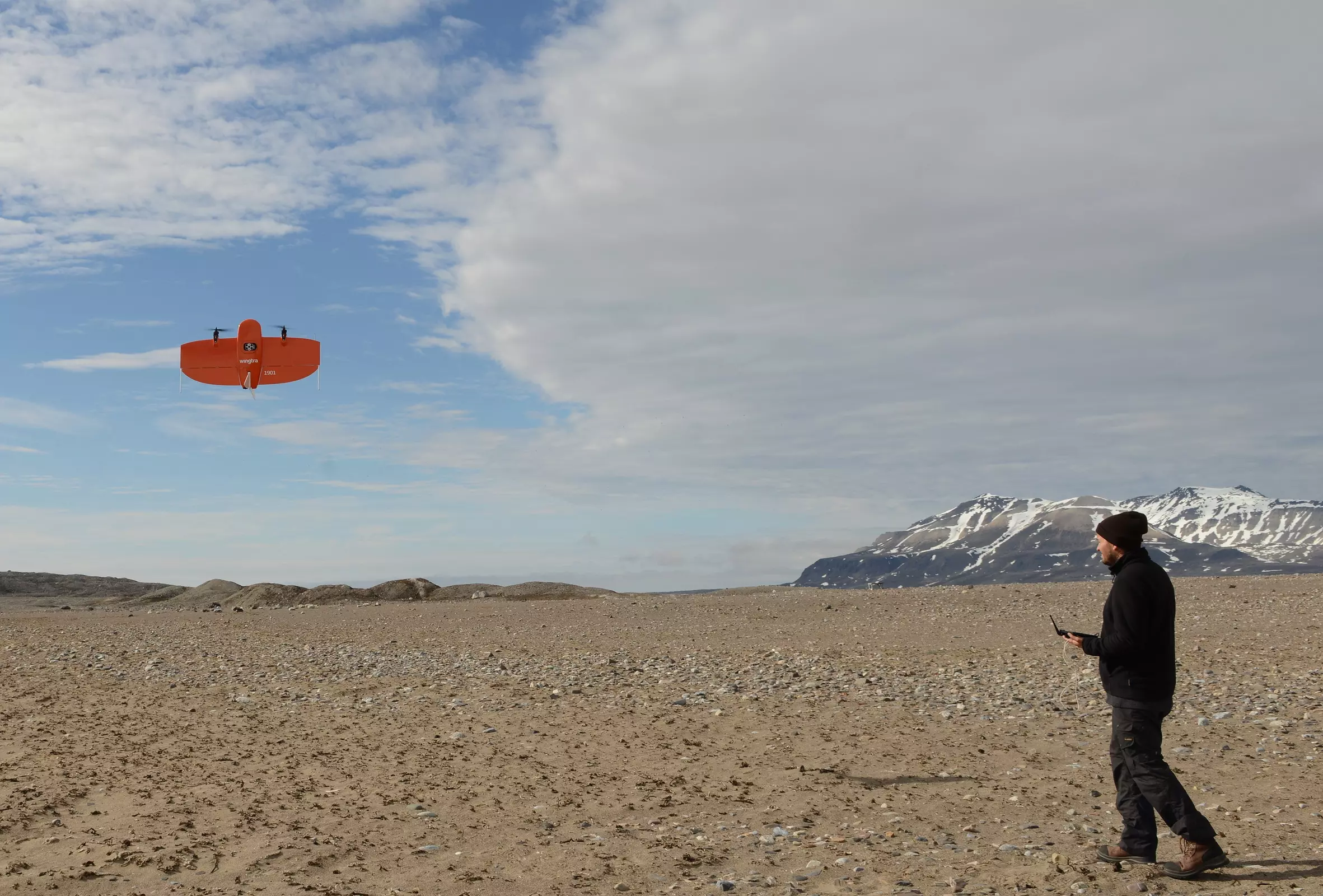
Our drones
BioConsult SH has different drones that can be deployed flexibly depending on the required size of the area or the characteristics of the object.

© M. Schnurawa
WingtraOne Gen II
- Monitoring drone for large areas (> 100 ha per flight)
- RGB and multispectral sensor
- PPK equipped to produce centimetre-level georeferencing
- Nadir images

© M. Schnurawa
DJI Phantom 4 Pro
- Multicopter drone for images and video
- RGB sensor
- Nadir and off-nadir images

© M. Schnurawa
Matrice 300 RTK
- Monitoring drone for large areas
- Drone for images and video
- RGB and multispectral sensor
- RTK-equipped to produce centimetre-level georeferencing
- Nadir and off-nadir images

© A. Kersten
Mavic 3e
- Multicopter drone
- Image and video recording
- RGB sensor (wide-angle and zoom)
- RTK module for centimetre-level georeferencing
- Nadir and off-nadir recordings

© Marc Schnurawa
GNSS Receiver Stonex S900T
- Base station to perform post-processed kinematic (PPK) of drone images
- Optional base and rover configuration
- Receives GPS, GLONASS, Galileo, Galileo
- Sub-centimetre accuracy of ground control points (GCPs)

© BioConsult SH
GCPs
- Standard size: 30 cm and 50 cm
- Absolute accuracy of drone location data
- Validation of RTK and PPK accuracy
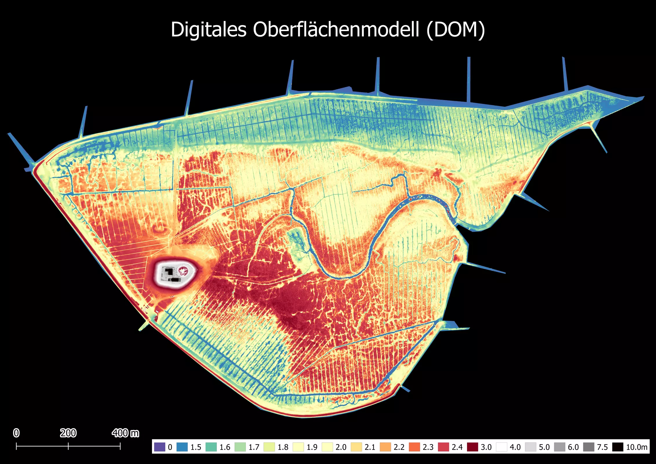
Data processing and evaluation
Next to simply record data, BioConsult SH additionally offers data processing and content-related evaluation.

© BioConsult SH
Processing of drone images
- Digital surface model (DSM)
- Orthophotos
- Digital terrain model (DTM)
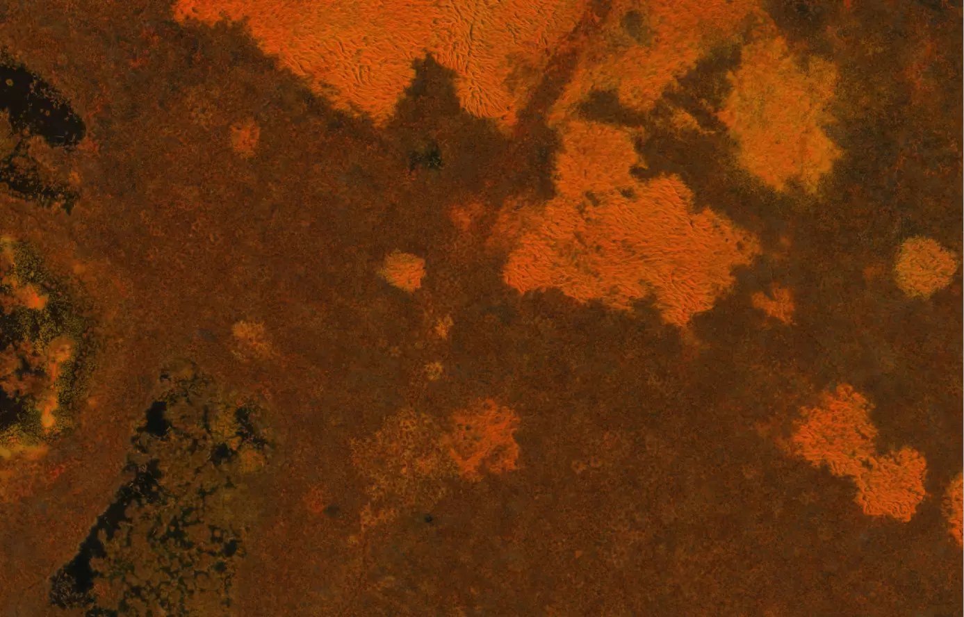
- Index maps for multispectral images
- Vegetation indices

© BioConsult SH
Content-related evaluation
- Vegetation analyses
- Object identification and recognition
- Volume estimates
- Breeding bird monitoring
- Identification of marine species and birds
- Development and application of automatised data analysis methods (AI)
Reference projects


Papers and reports

Drone-based monitoring of intertidal blue mussel beds in the Wadden Sea – comparison of a threshold and two machine learning approaches
Front. Mar. Sci. 11:1381036. doi: 10.3389/fmars.2024.1381036
https://www.frontiersin.org/articles/10.3389/fmars.2024.1381036/full

 bioconsult-sh.de