

© M. Brandt Petersen
Digital aerial surveying of marine birds and mammals
Using high-resolution HiDef video cameras, we carry out large-scale surveys of marine birds and mammals and other marine megafauna in coastal and offshore waters.
HiDef aerial surveys for environmental studies, monitoring and research
Since 2014, digital aerial surveys have been part of the standard procedure for environmental assessments in Germany for offshore wind and other marine infrastructure projects. These surveys provide a robust data foundation for scientific analyses, expert reports and environmental impact assessments. They have replaced observer-based flights as the preferred survey method in many national and international monitoring and research projects.
Aerial surveys using digital videos are suitable for all large-scale surveys of birds, marine mammals and other marine megafauna such as sharks or turtles in coastal and offshore waters as well as for surveying large inland water bodies. Additionally, BioConsult SH has successfully used the method for resting bird counts on hard-to-reach outer sandbanks, as well as for large-scale wildlife surveys in Africa.
Since January 2014, BioConsult SH uses the latest generation of the high-resolution HiDef video system HiDef AIR developed by our partner company HiDef Aerial Surveying Ltd to carry out marine bird and mammal surveys. Together with our partner companies in the Alliance for Nature, we have already successfully carried out several thousand survey flights worldwide.

© BioConsult SH
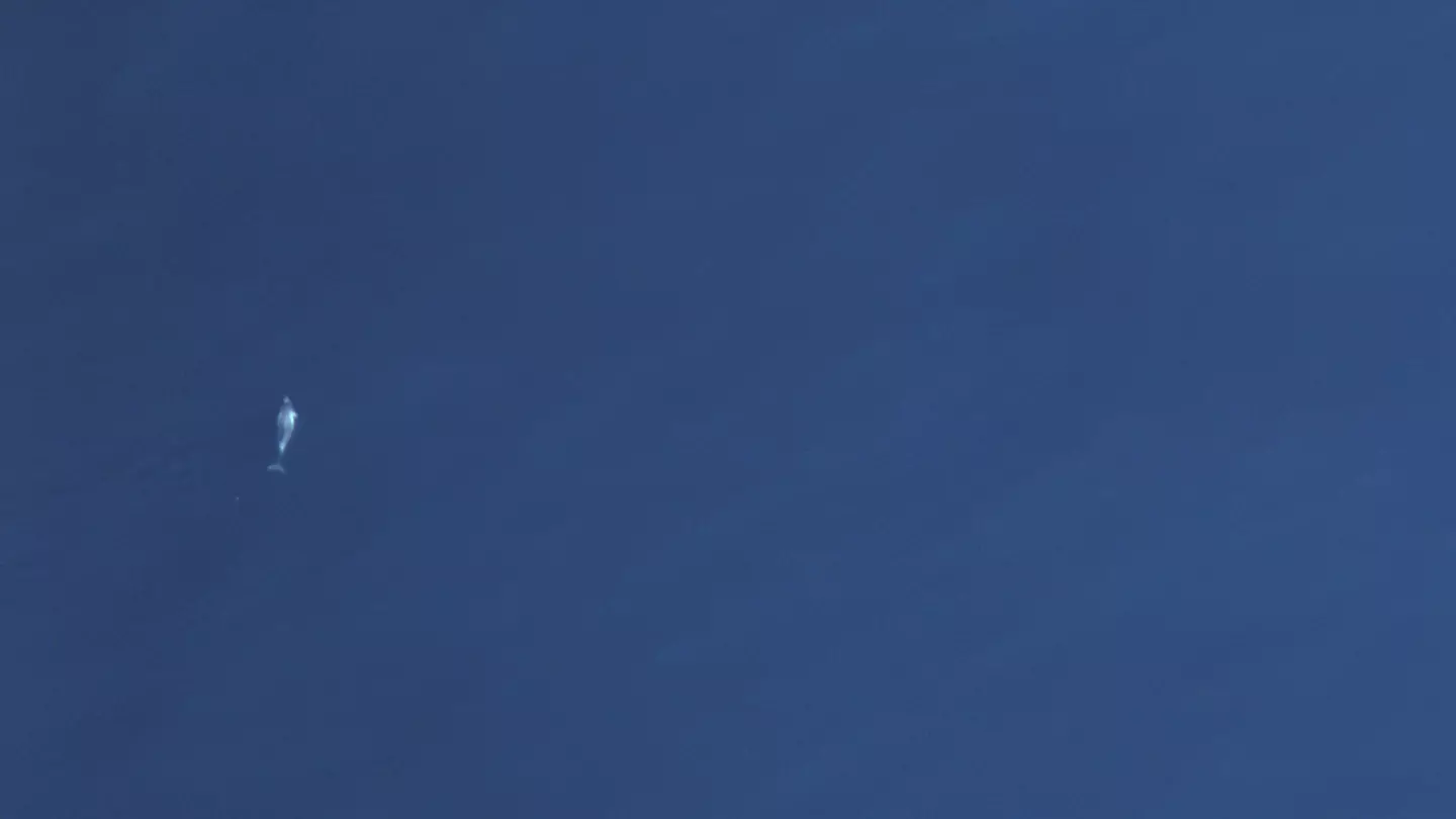
White beaked dolphins (Lagenorhynchus albirostris) captured with our high resolution HiDef cameras.
Use of long-range drones for large-scale monitoring
Since 2025, we are using long-range drones as a low-emission alternative platform for large-scale digital aerial surveys.
A fully automated, complete HiDef camera system that is optimised for drone operation is integrated into the drone and has been successfully tested in projects such as the SeaMe research project.
Our two Primoco One 150 UAV long-range drones are available not only for standard HiDef survey flights but also for other large-scale remote sensing surveys.

© T. Barth
One of BioConsult SH's two long-range drones flying over an offshore wind farm during a HiDef aerial survey.
Disturbance-minimised and accurate data collection
The latest HiDef system, HiDef AIR, consists of five high-resolution video cameras. From a flight altitude of around 540 metres, it achieves a ground resolution of 1.7 cm per pixel, which enables a very high identification rate at species level, even for small sea- and waterbirds.
Due to this in contrast to previously used observer flights higher altitude, offshore wind farm areas can be flown over safely and thus still be surveyed. Disturbances are minimised. Even species that are especially sensitive to disturbance, such as common scoters, do not fly up during HiDef aerial surveys.
This is a major advantage over observer flights, not just for surveys in sensitive protected areas. Low-disturbance surveying also yields more reliable results, as the behaviour and distribution patterns of the birds are unaffected by the survey method.
The high resolution and a recording rate of around seven frames per second ensure that an object is captured in several consecutive images. This enables our experienced team of image analysts, ornithologists and marine mammal experts to reliably detect the objects and to even identify species on species level that are difficult to distinguish.
The cameras are slightly tilted forwards or backwards to keep them turned away from the sun avoiding reflections and data loss.
This camera angle also improves the detection of submerged animals, which is particularly important for the detection of marine mammals.

© BioConsult SH
Left: Arrangement of the HiDef video system with five individual cameras for standard transect detection. Right: Alignment of the HiDef video system tilted forwards or backwards by the angle α to avoid sun reflection on the image.
Excellent data quality and verifiable results
The data is analysed in two consecutive steps:
- object detection (finding and labelling the objects in the footage) and
- object identification
In the quality assurance process of the object detection step, 20 % of the video footage is subject to an independent review. In the subsequent object identification step, 20 % of all labelled objects are independently identified by a second person.
This ensures that the quality of the analysis is systematically monitored and that the data meets our highest quality standards.
Permanent storage of the images allows clients and authorities to re-review all data at all times and thus provides a robust basis for expert reports and assessments.
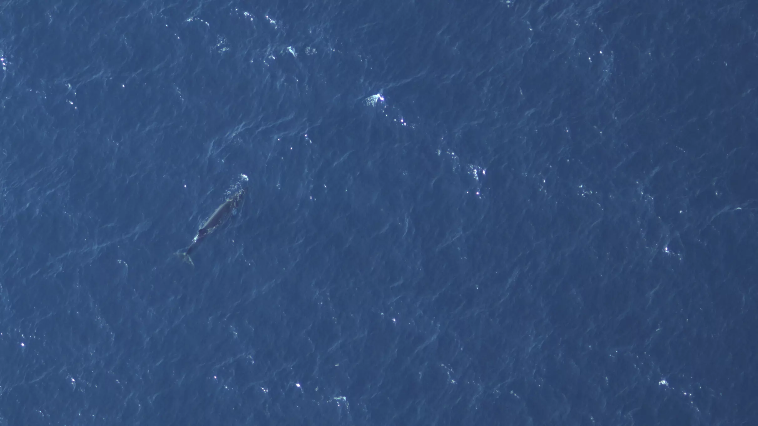
© BioConsult SH

© BioConsult SH
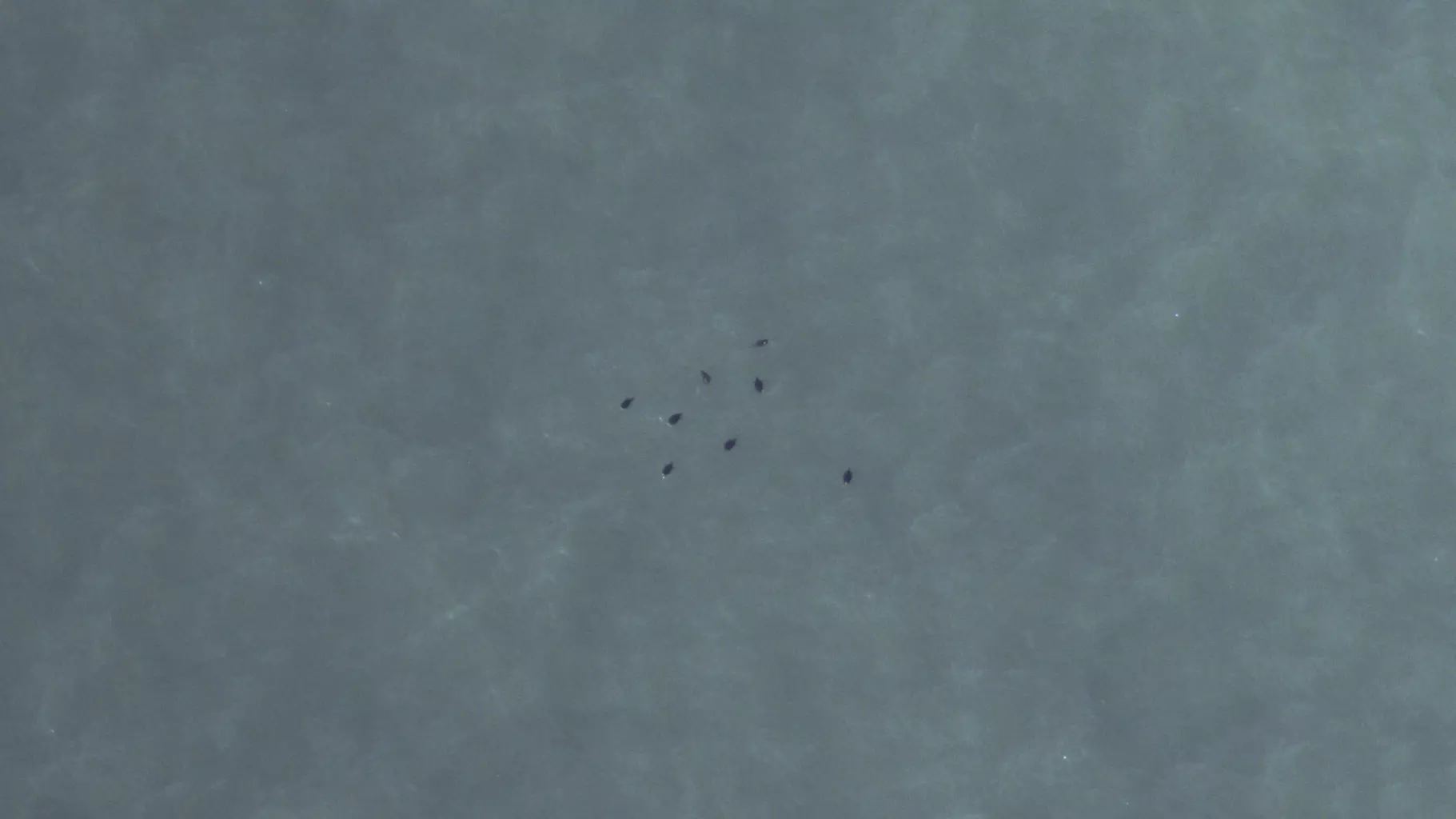
© BioConsult SH
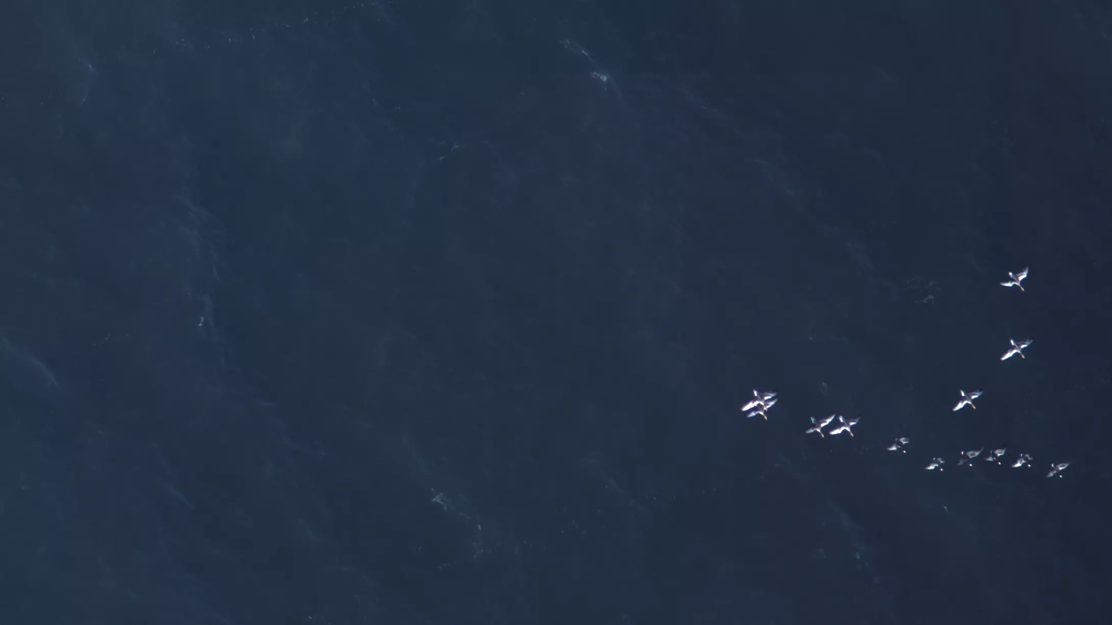
© BioConsult SH
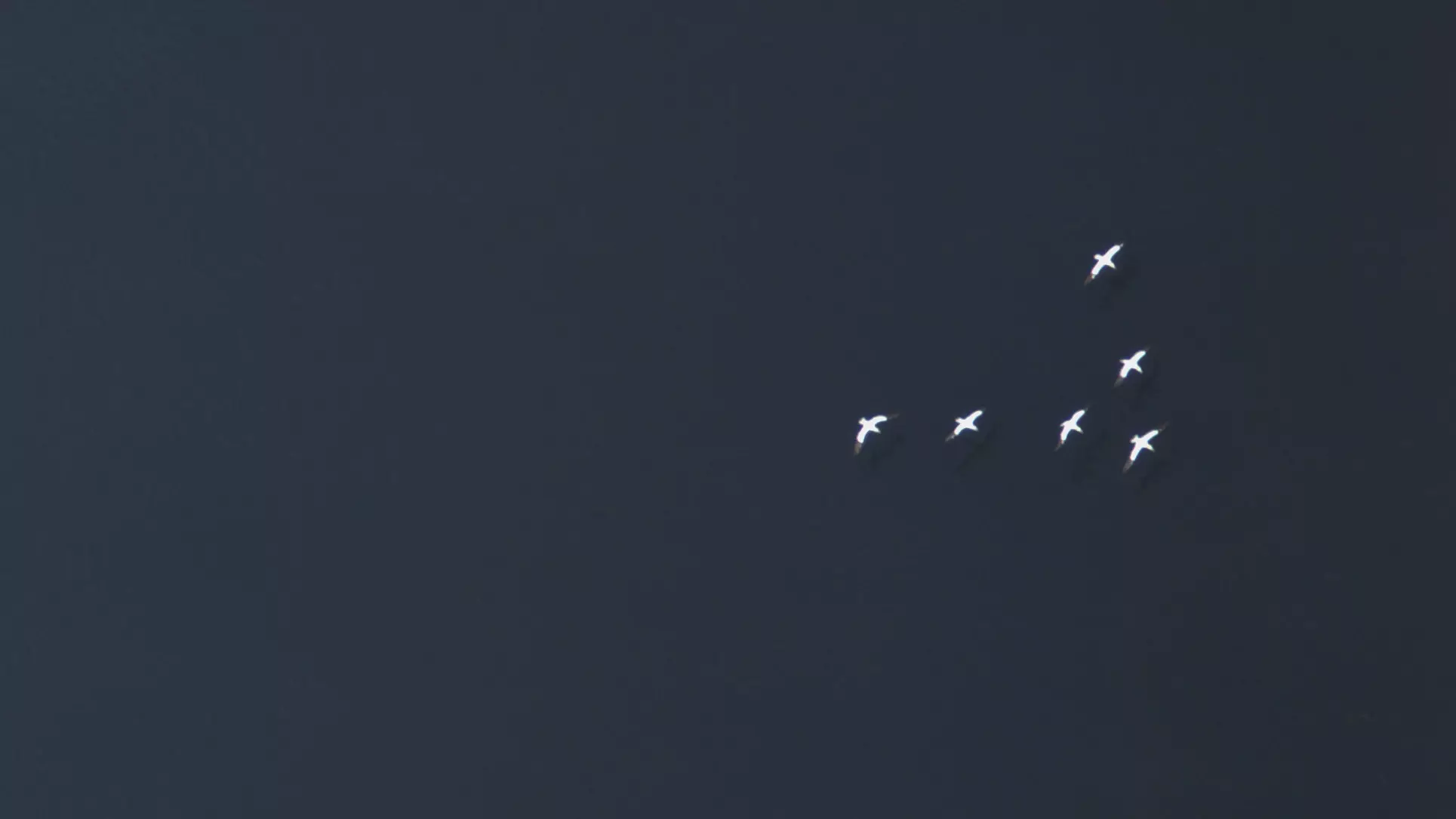
© BioConsult SH
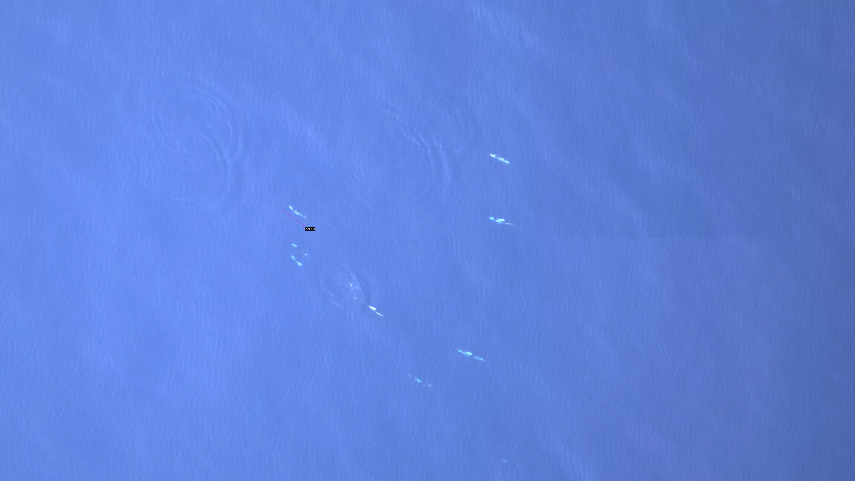
© BioConsult SH
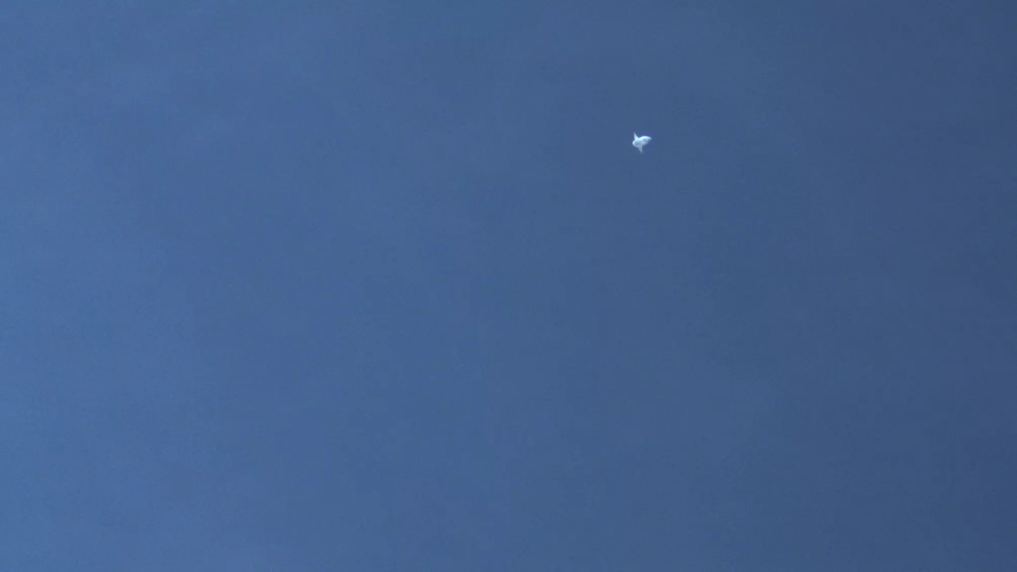
© BioConsult SH
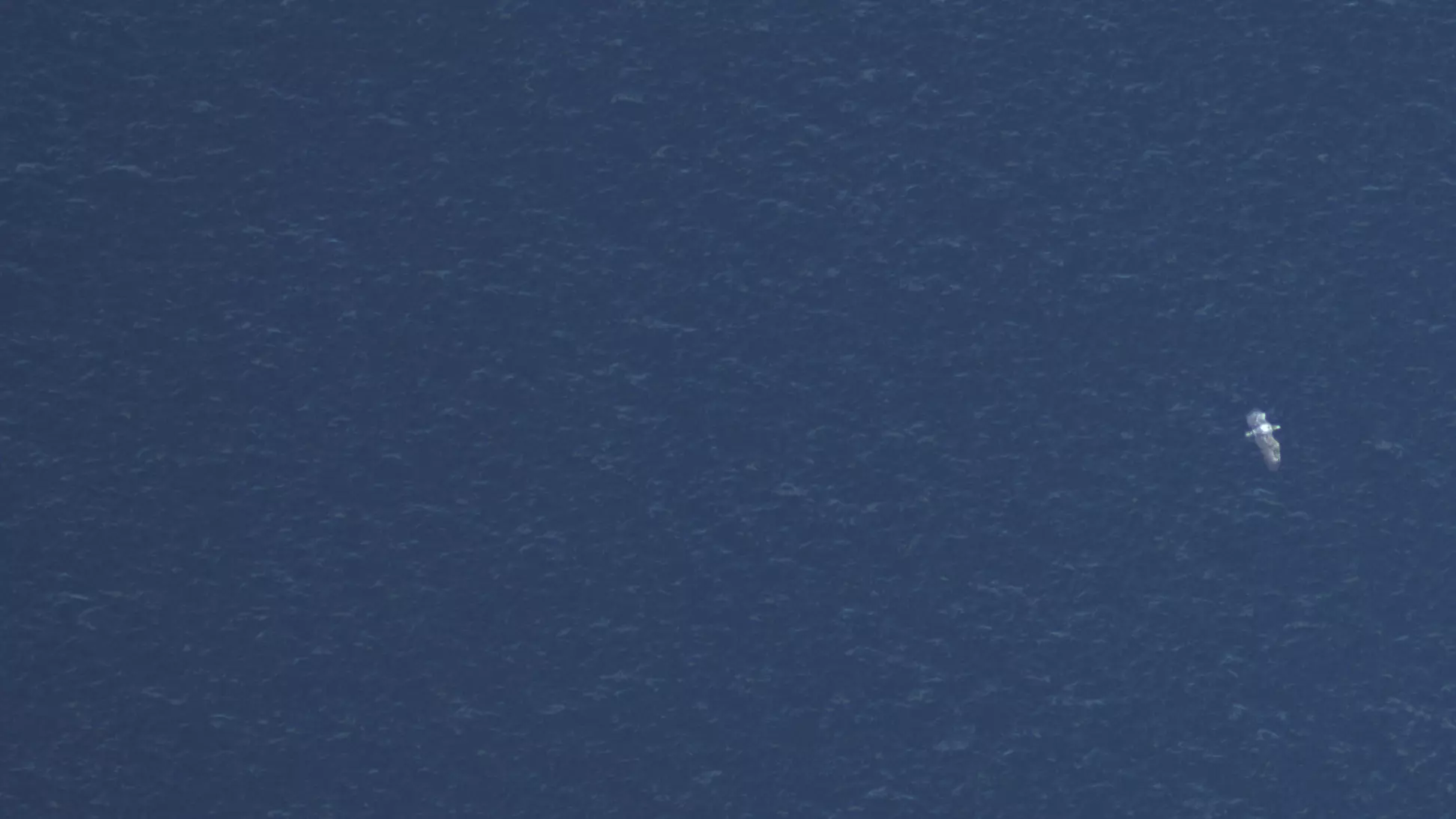
© BioConsult SH
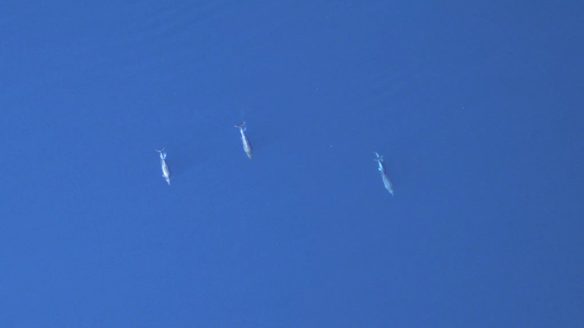
© BioConsult SH
© BioConsult SH
© BioConsult SH
© BioConsult SH
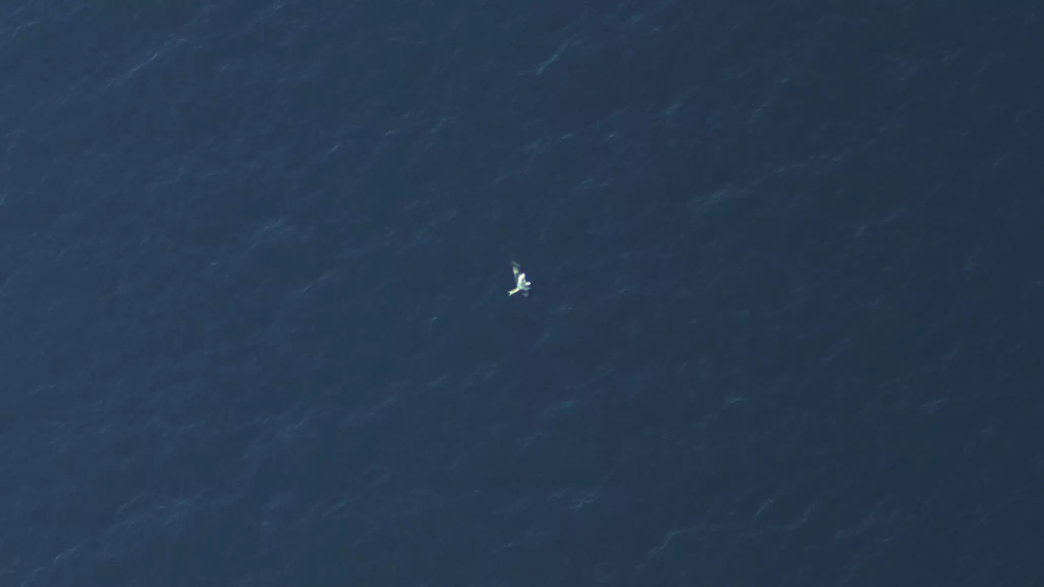
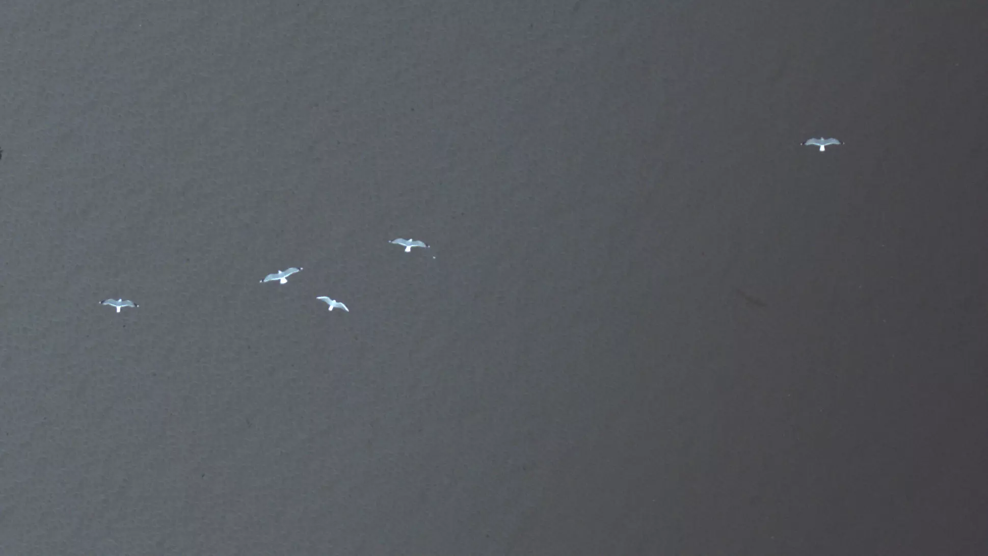
Image examples captured with our HiDef camera system.
Automation and AI: continuous improvement of data collection and analysis
BioConsult SH is constantly refining its data collection and analysis processes. Our aim is to standardise and automate processes, ensuring consistently high data quality and simultaneously increasing the efficiency of data processing.
With the switch to the latest HiDef camera system HiDef AIR and our in-house developed AI model HiDeFIND, we have partially automated the first step of analysis the object detection.
The AI model identifies potentially relevant objects in the video footage but quality assurance and the scientific identification of the recorded animals remains part of the workflow of our experienced team.
Functionality and performance of HiDeFIND were comprehensively evaluated and scientifically documented prior to its deployment (see Schmoll et al. 2025).
Reference projects

Publications

Hohe Sensitivität automatisierter Detektion von Seevögeln auf See auf digitalen Lufbildaufnahmen
Vogelwarte 63, 2025: 191–215. https://www.do-g.de/dog

High sensitivity of automated detection of seabirds at sea on digital aerial survey footage
This publication is a translation of “Hohe Sensitivität automatischer Detektion von Seevögeln auf See auf digitalen Luftbildaufnahmen”, originally published in Vogelwarte 63, 2025: 191–215. https://www.do-g.de/dog

Wie künstliche Intelligenz Seevögel auf See entdecken und bestimmen lernt: Seawatching mal anders
DER FALKE Journal für Vogelbeobachter 72. Jahrgang, Heft 7, Juli 2025. https://www.falke-journal.de/

Zehn Jahre digitale Flugerfassung von Seevögeln und Meeressäugern – Die HiDef-Methode
Seevögel, 2024, Band 45, Heft 2, 14-17

Comparison of digital video surveys with visual aerial surveys for bird monitoring at sea
J Ornithol (2019)
