
© M. Schnurawa
Remote sensing surveys of plastic litter in the Arctic
In cooperation with AquaEcology GmbH & Co. KG, the Norwegian Polar Institute and WSP Arctic, the project investigated methods to monitor beach litter on Greenland and Svalbard on behalf of the German Environment Agency.
For more information on possible applications of drones, please refer to our services page.
Remote sensing surveys of beach litter
Arctic-wide standardised surveys of beached marine litter are fundamental to draw up a regional action plan as proposed by the Protection of the Arctic Marine Environment working group (PAME) of the Arctic Council for 2021. Monitoring beach litter does not only provide information about the current degree of pollution but also serves as a basis for evaluation of the success of possible plans for action.

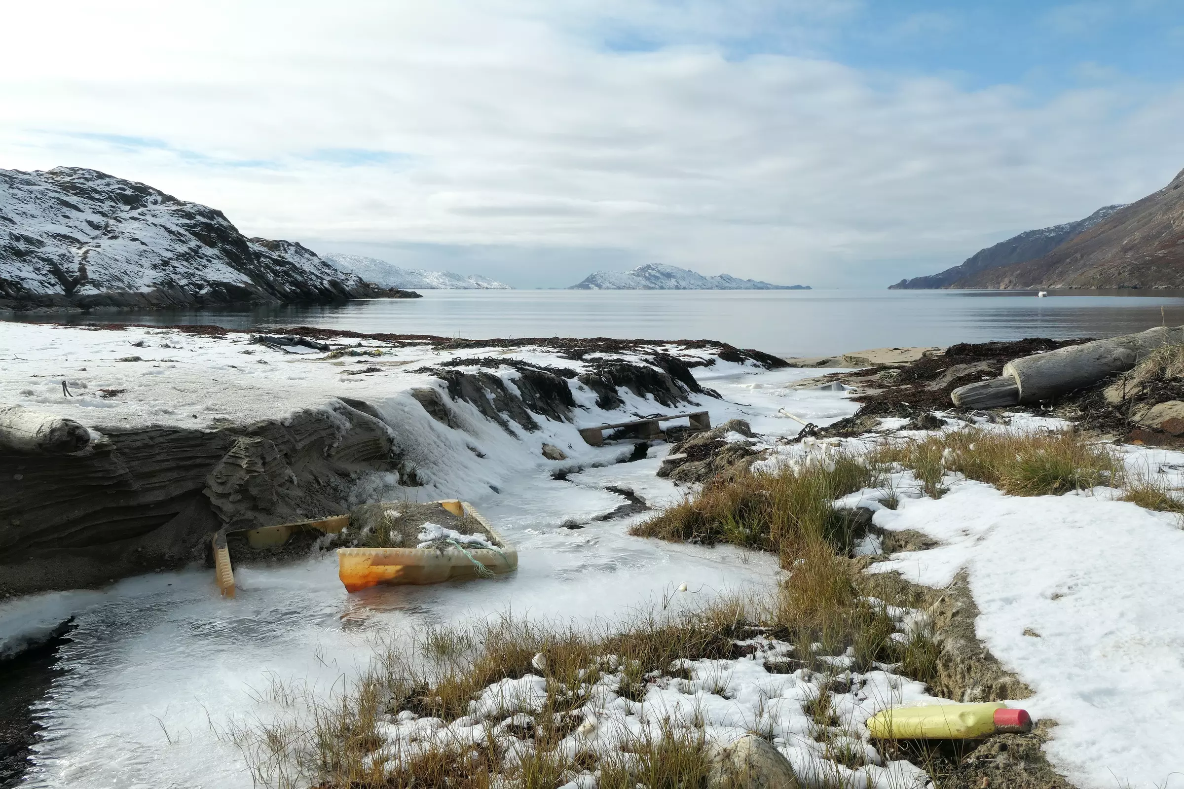

Even the remote areas of the Arctic are affected by litter.
Project aims
Traditional methods of beach litter monitoring were supported and complemented by remote sensing methods as satellite imagery or drone surveys.
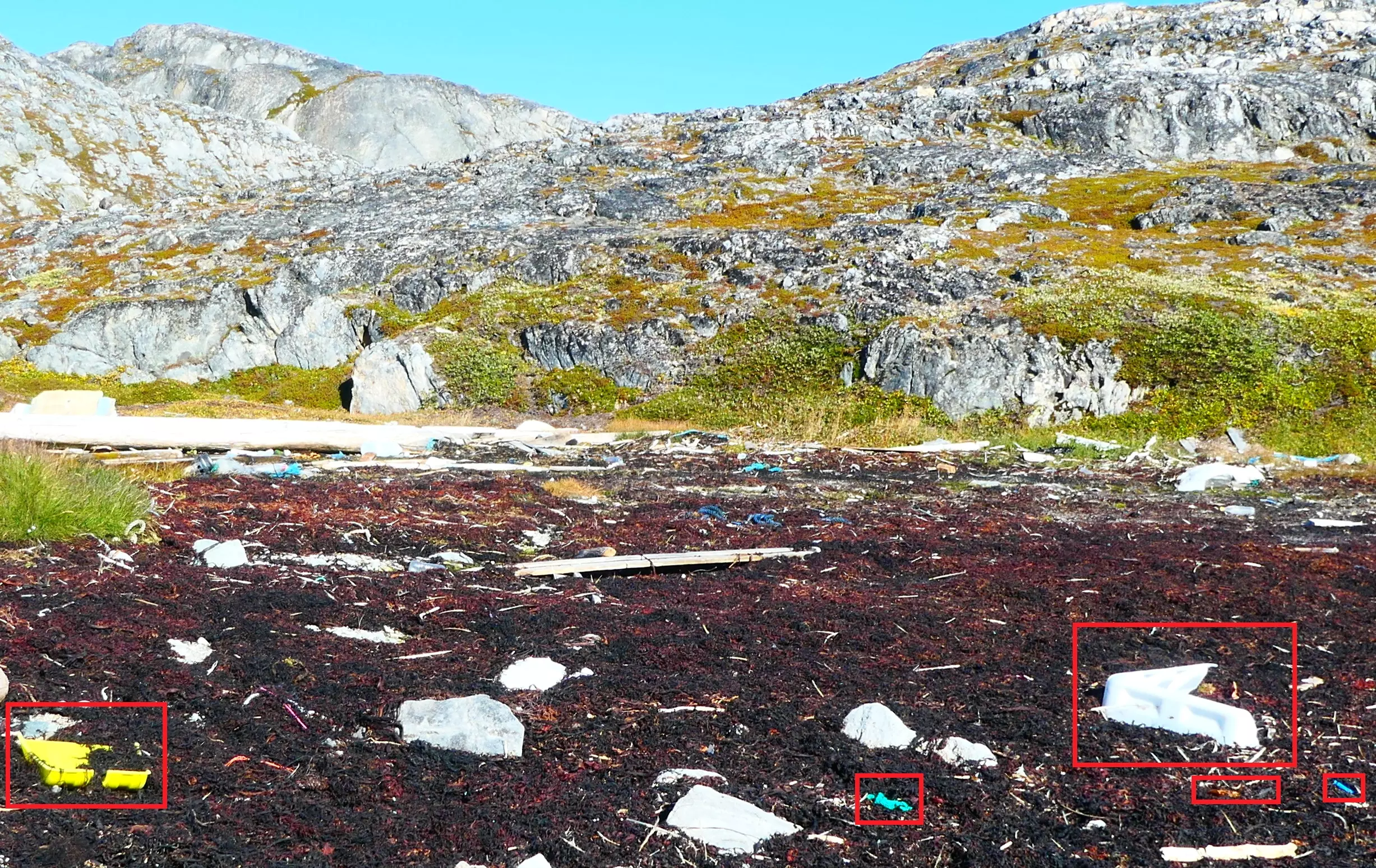
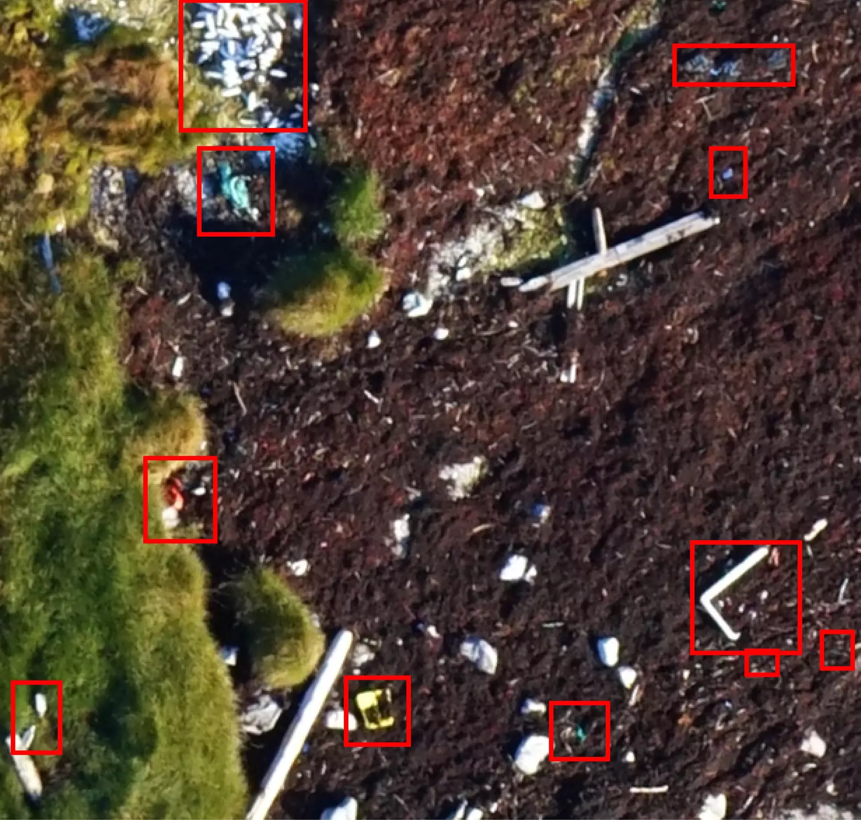
Satellite imagery served to identify areas with large quantities of plastic litter. Drone images were intended to identify and categorise plastic objects to save time in comparison to traditional survey methods. Due to limitations of the spatial resolution of all remote sensing techniques, this study concentrated on macro litter (> 2.5 cm) only.
Methods
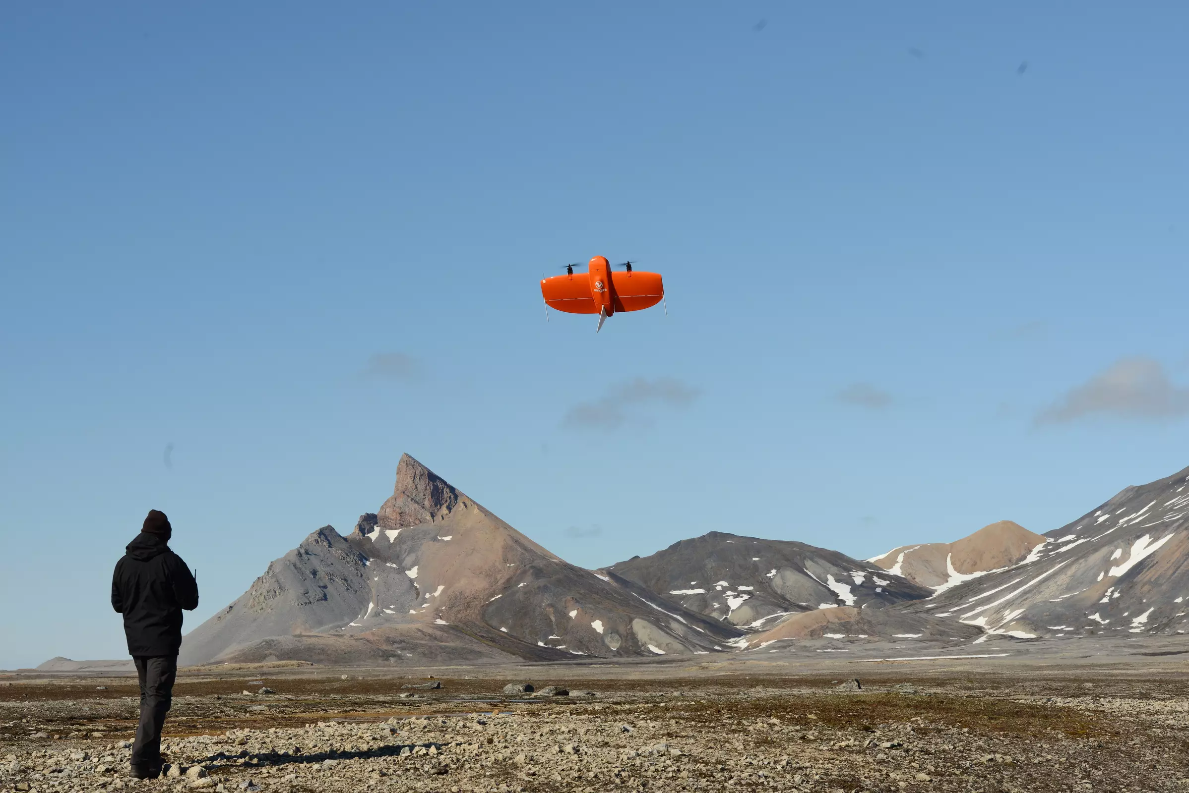
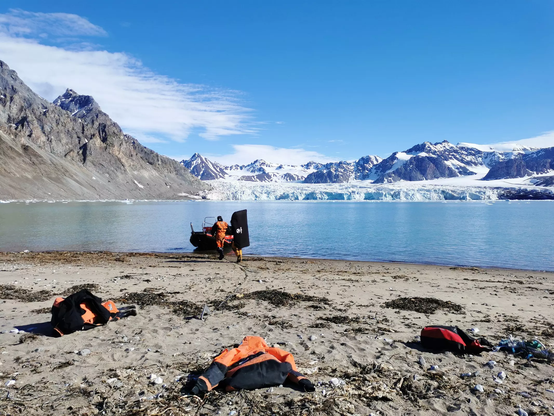
Drone surveys
In drone surveys, manual inspection of the drone images and machine learning were tested and compared to the results of traditional monitoring following the OSPAR method. Our WingtraOne drone with Sony QX1 RGB sensor and the MicaSense Altum multispectral sensor were used in these surveys, covering areas between 1.3 ha and 34 ha at a spatial resolution of 1.4 cm for the Sony QX1 and 3.4 cm for the MicaSense Altum sensor.
Evaluation of satellite imagery
To detect accumulations of plastic litter, WorldView-3 satellite imagery with a spatial resolution of 1.2 m in the visible (RGB) and near infrared (NIR) range and 3.7 m in the short-wavelength infrared (SWIR) range, taken a few days prior to drone surveys, was used to ensure comparability of both survey methods. Machine learning and spectral unmixing approaches were used to investigate a possible detection of plastic litter on a pixel or sub-pixel level in the Arctic.

© BioConsult SH
WV-3-sSatellite image of a shoreline in the Arctic with the number of plastic objects identified in the drone images. The size of the individual grid cells is 10 x 10 m.
Papers and reports

Environmental Protection in the Arctic – support of German activities in the Arctic Council in terms of a pilot study on monitoring plastic litter on arctic coastlines applying remote sensing techniques - Final report
TEXTE 138/2023. Ressortforschungsplan of the Federal Ministry for the Enviroment, Nature Conservation and Nuclear Safety. Project No. (FKZ) 3719 18 201 0. Report No. FB001079/ENG
Further information
On behalf of
The Project
"Umweltschutz in der Arktis – Unterstützung der deutschen Aktivitäten im Arktischen Rat durch eine Pilotstudie zum Monitoring von Kunststoffmüll an arktischen Küsten mittels fernerkundlicher oder luftgestützter Methoden"
was carried out on behalf of the German Environment Agency (UBA).
Project duration
2019-2022
Project number
FKZ 3719 18 201 0

 bioconsult-sh.de