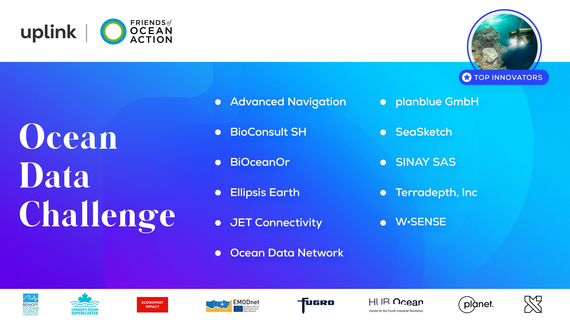
We are excited that UpLink has selected our service SPACEWHALE as a winner of the Ocean Data Challenge! The SPACEWHALE team was invited to virtually join the World Economic Forum's Annual Meeting in Davos, when Will Marshall, Co-Founder & CEO of Planet Labs, announced the winning cohort 2023 during the live session 'The Earth Data Revolution' and described SPACEWHALE and the other winners as Top Innovators.
The Ocean Data Challenge calls for startups and social enterprises that leverage and/or contribute to the global ocean data ecosystem and which demonstrate the applications for ocean data to boost ocean conservation and promote the sustainable blue economy.
SPACEWHALE is a service developed by BioConsult SH and HiDef Aerial Surveying Ltd. We use very high-resolution (VHR) satellite imagery with a resolution of 0.31 m per pixel. The method allows monitoring whales in remote and unexplored regions in the high seas, where traditional boat or aerial-based surveys are difficult to execute or even impossible.
Whales are sentinels of the health of the marine environment. Their populations are crucial to the oceans’ organic carbon cycle. However, little is known about the distribution of marine mammals in remote areas. Monitoring whales using satellite imagery can fill these knowledge gaps: This methodology can determine the distribution and abundance of large whales in any area of the world and thereby answer key questions vital to implement better conservation measures.
We believe that the satellite methodology offers a unique opportunity to fill knowledge gaps on the distribution and abundance of whales and thus contribute to the designation of Marine Protected Areas. As a prime example, our study within the GRAVITY Challenge by Deloitte and Whale and Dolphin Conservation has the potential to lift conservation to another spatial level.
Learn more about the entire cohort here:
https://www.youtube.com/watch?v=oAJwasB9H6c

