Southern right whale survey in the South Pacific
Our SPACEWHALE service detects large whales on satellite imagery. In a study in New Zealand, this method was used to count southern right whales. The results were compared to counts of boat-based surveys.
Please refer to our services and to the website of the service www.spacewhales.de for further information about SPACEWHALE.
Whale surveys south of New Zealand
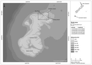
Southern right whales live in the subantarctic and temperate oceans of the southern hemisphere. Well into the 20th century, southern right whale populations suffered dramatic losses due to whaling. Port Ross – a natural harbour in the north-eastern part of the Auckland Islands, 300 km south of New Zealand – is a primary calving ground of southern right whales. These waters also were an important whaling area. Today, the population starts to recover.
Aim of the project
The project had two aims:
- Determination of the number of whales at the time of the survey
- Comparison of the results of the satellite-based detection with results of a boat-based survey
Method
WorldView-2 archived images at a resolution of 0.46 m/pixel of August 2020 were used for the survey.
In a first step, the SPACEWHALE algorithm scanned the satellite imagery for the presence of whales.
Subsequently, experts verified whether objects detected by the algorithm were in fact whales to exclude confusion with for example boats, rocks or waves.
Boat-based surveys of whales in the area were carried out twelve hours earlier.
Results
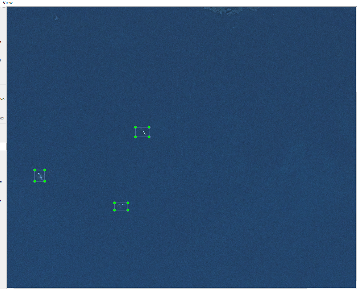
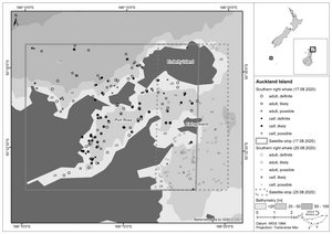
Not only adult whales could be detected and identified in the satellite imagery but also calves. Overall 113 definite adult southern right whales and 58 calves were counted on 17 August 2020 in the survey area.
The number of whales detected by both methods were equivalent despite the 12-hour difference between the time of data collection. The number of calves detected by satellite was slightly lower than determined in boat-based surveys. This was likely due to the algorithm missing calves that were completely concealed by their mothers during the snapshot survey. Use of higher resolution images (~ 0.30 m/pixel) may improve detection of calves that are not fully hidden under their mothers.
The study at Port Ross could prove that satellite-based surveys are well suited to count large whales in remote areas. They may serve to complement existing data and to investigate and fill existing data gaps.

Satellite imagery © 2020 Maxar Technologies
Satellite image with three southern right whales detected by the SPACEWHALE logarithm near the Auckland Islands, New Zealand.
Publications
Satellite surveys prove a reliable monitoring method for high latitude southern right whale habitat
International Whaling Commission
https://www.spacewhales.de/wp-content/uploads/2022/06/SC_68D_SH_12.pdf
Further information
Please refer to our services and to the website of the service www.spacewhales.de for further information about SPACEWHALE.
Contact

Caroline Höschle
Deputy team lead
Remote sensing
SPACEWHALE


