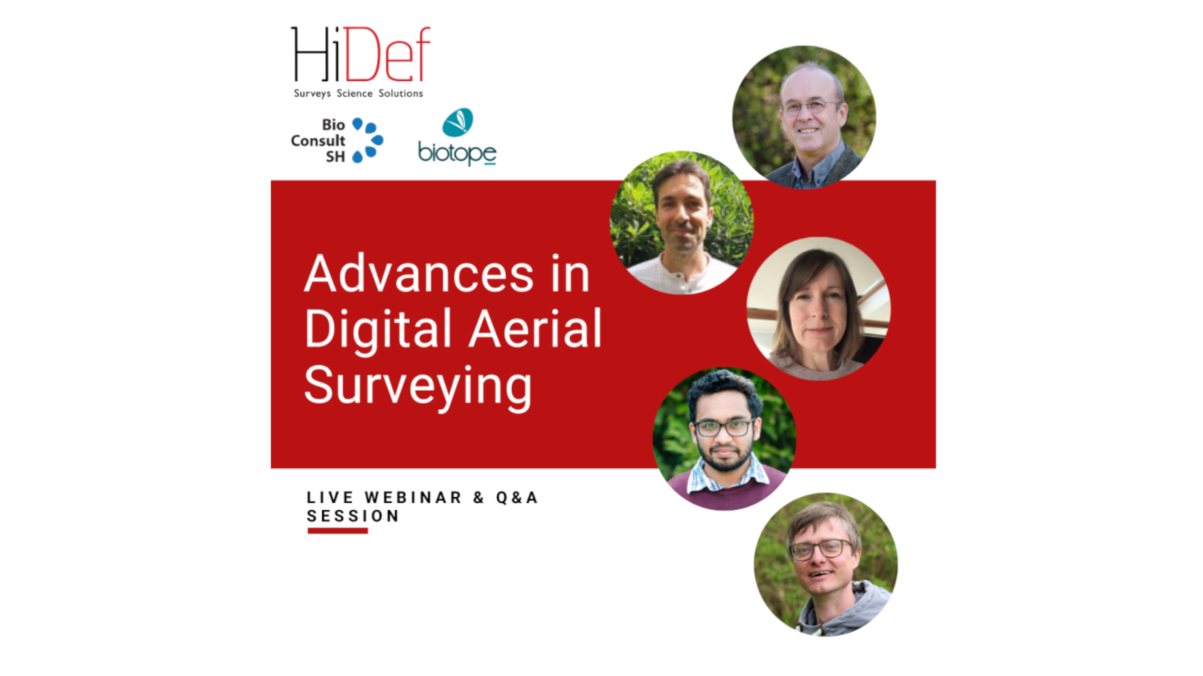
The recording of the webinar ‘Advances in Digital Aerial Surveying’, in which we explain our method for digital aerial surveying, is now online and can be watched here.
For over a decade, Digital Aerial Surveys (DAS) have become the standard method to monitor seabirds and marine mammals around offshore wind farms and much beyond. They are fast and cost-efficient. By covering large areas in short time DAS are the best option for marine wildlife monitoring.
While standardization and keeping the method constant is important, technology is advancing. New sensors, new platforms such as drones and new analytical tools by AI offer vast options to improve existing methods.
As such, HiDef Aerial Surveying, BioConsult SH and Biotope as the leading providers of DAS based on HiDefs bespoke video system, are advancing the techniques and analytical methods.
How do these advances influence the quality of the data, how do new surveys relate to existing data, do ‘better’ surveys and possibly higher detection rates affect long-term data series?
These questions were addressed in the webinar, where we outlined how we are advancing our method for digital aerial surveying.
The webinar was organised by HiDef Aerial Surveying, Biotope and BioConsult SH and was held in English.
The webinar includes the following presentations:
- Chair and introduction: Florian Lecorps – Biotope
- Advancing DAS by new sensors, new platforms and AI – implications for future surveys: Dr Kelly Macleod – HiDef
- Using AI to analyse aerial video footage: Guruprasad Hegde – BioConsult SH
- Identification of seabirds and mammals: Balduin Fischer – BioConsult SH
- Outlook and concluding remarks: Georg Nehls – BioConsult SH
We would like to thank everyone who made this webinar possible and contributed constructively to the discussion.
If you have any further questions about our method for Digital Aerial Surveying of seabirds and marine mammals, please contact Monika Dorsch (Remote Sensing Working Group Leader): m.dorsch@bioconsult-sh.de


