Remote sensing
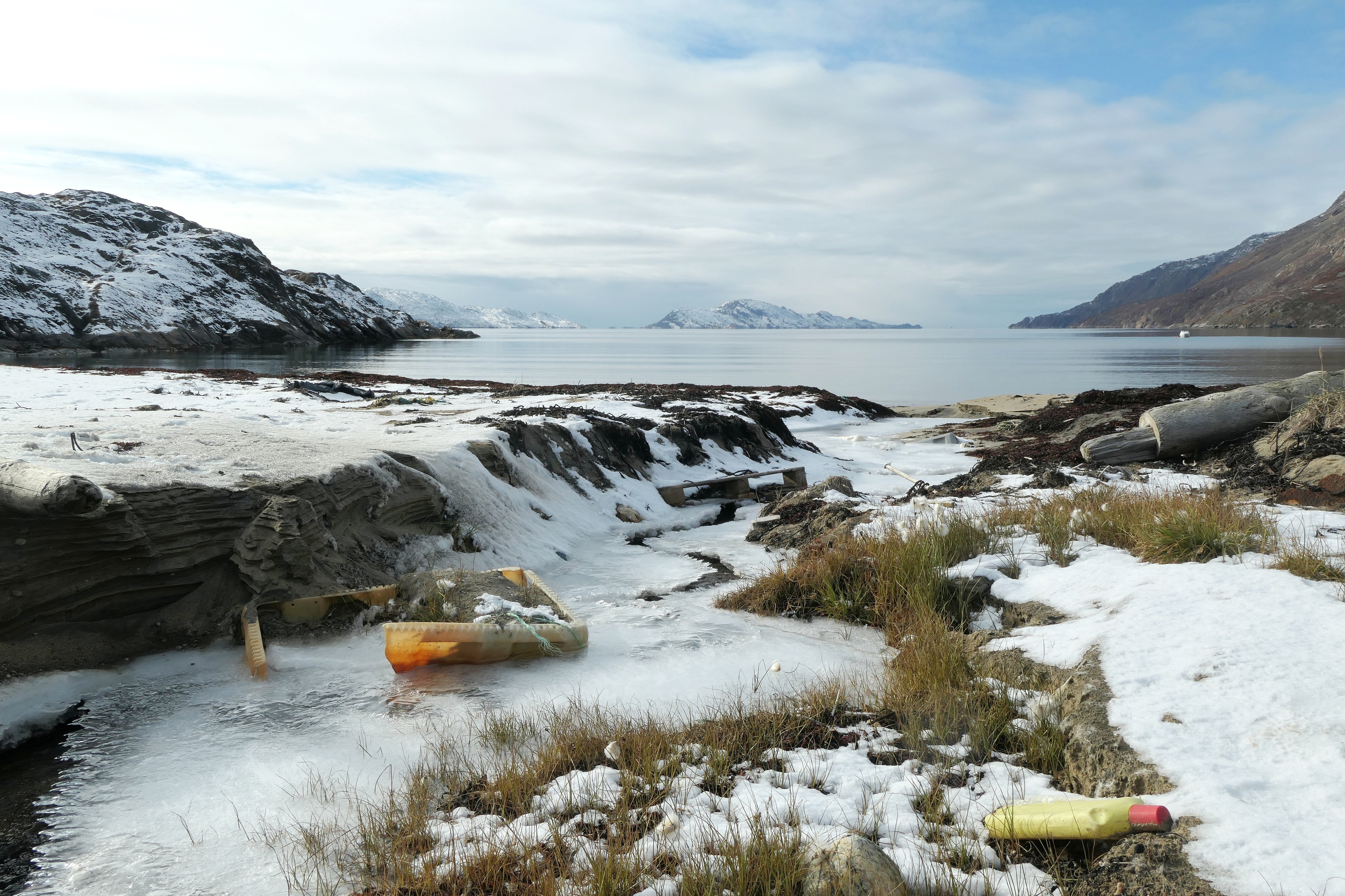
We offer a wide range of remote sensing methods (drones, aircraft and satellites) to collect and analyse accurate data at the required resolution for various species groups and habitats.
Remote sensing: accurate data for environment and research
Our services include standardised digital aerial surveys for monitoring birds and marine mammals in offshore areas using the HiDef method as well as drone surveys and the evaluation of satellite data to answer specific questions on various species and habitats (marine, coastal and terrestrial).
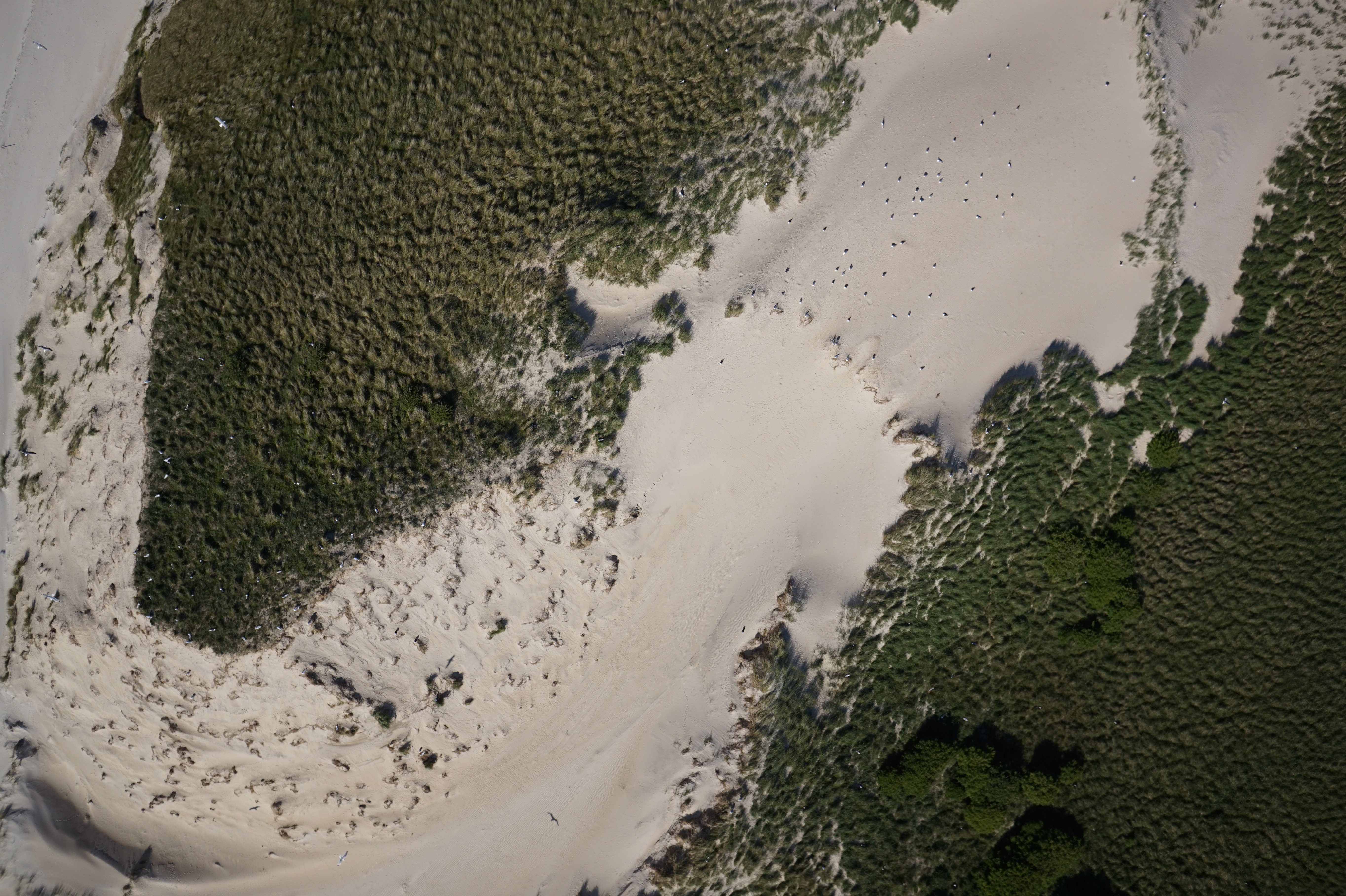
High-resolution cameras allow to take large-scale and detailed images at regular intervals and repeatedly. This ensures precise documentation of changes and developments over time and provides valuable insights for ecological issues such as monitoring habitats, analysing vegetation dynamics or recording animal populations.
In addition to high-resolution images in the visible spectrum (RGB), other sensing technologies such as infrared enable the exact recording of vegetation and animals. These technologies are particularly effective in analysing landscape changes, monitoring ecosystems and mapping areas that are difficult to access. The digitally recorded data can be reviewed, analysed and re-evaluated in different contexts at any time.
Remote sensing using drones, aircraft and satellites
We use state-of-the-art remote sensing technologies to create high-resolution images and videos for a wide range of environmental monitoring applications. The different recording methods enable us to record environmental data flexibly at different scales.
© M. Schnurawa
© BioConsult SH
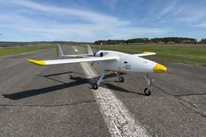
Drones
We use drones in many different environmental monitoring projects, e.g.:
- Breeding bird surveys
- Mapping of mussel beds and seagrass meadows
- Vegetation and habitat mapping
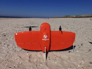
Our multicopters and fixed-wing drones, equipped with RGB and multispectral sensors, permit customised solutions.
From application and data collection to data processing and biological analysis: we offer the complete range of services tailored to individual issues.
Our long-range drones are suitable for large-scale surveys in offshore, coastal and onshore areas.
© BioConsult SH
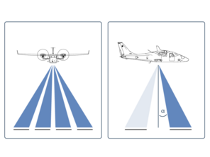
Digital aerial surveys (HiDef method)
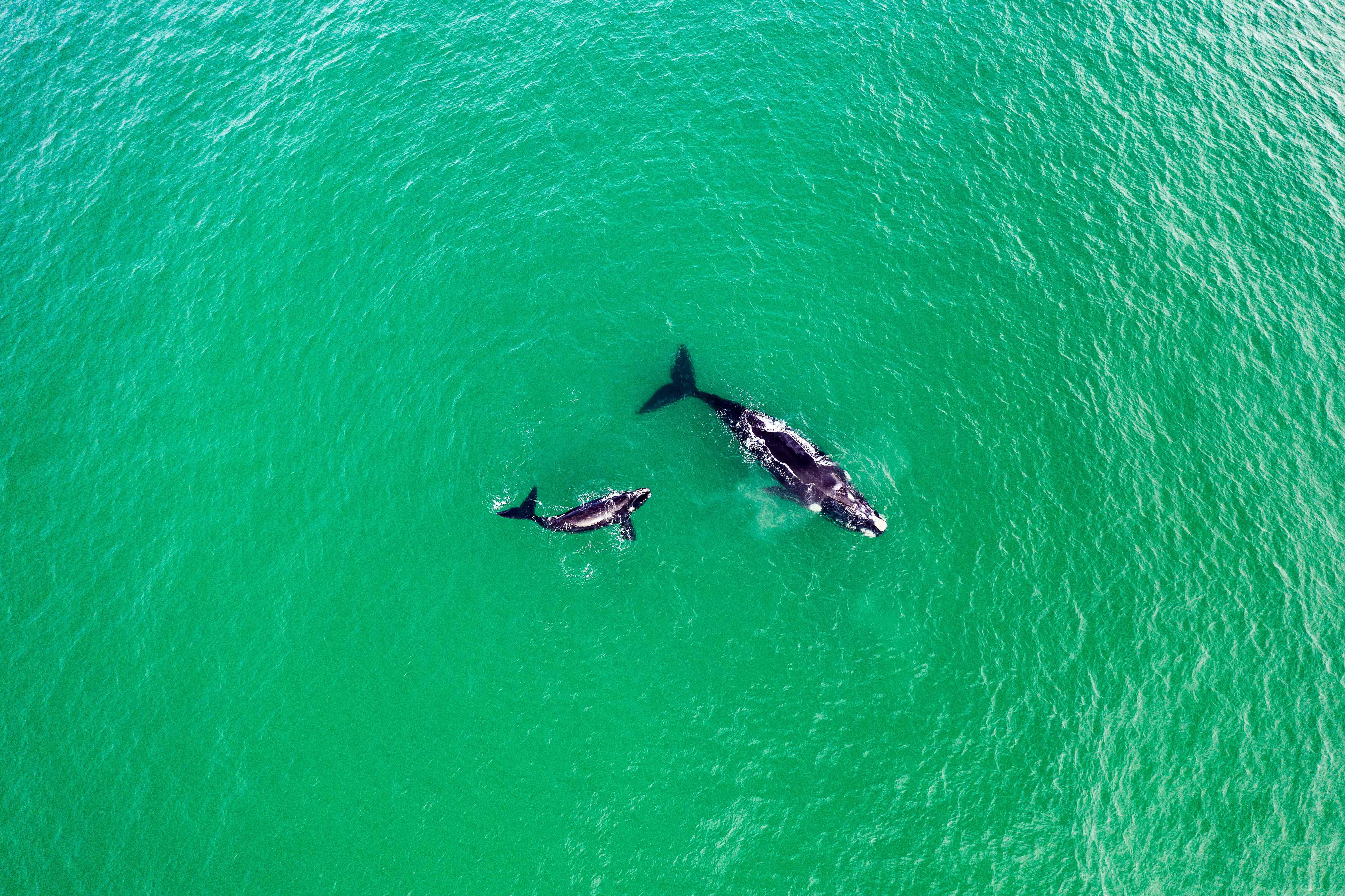
Using ultra-high-resolution video cameras, we carry out large-scale surveys of birds, marine mammals and other marine megafauna such as sharks and turtles throughout Europe. Our recordings cover both coastal and offshore waters.
Satellites
Satellite-based remote sensing opens up unique possibilities for recording habitats and wildlife. With our specialist SPACEWHALE service, we record large cetaceans using high-resolution satellite images. Our service covers the entire process from coordinating data collection to data analysis and reporting.
With our expertise, we support the development and optimisation of evaluation methods to use satellite data efficiently and in a targeted approach for a wide range of applications.
Analysis with the help of artificial intelligence (AI)
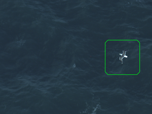
Remote sensing methods generate enormous amounts of data, the analysis of which is considerably facilitated by automated image recognition. This automation enables the data to be analysed quickly and precisely.
At BioConsult SH, we develop innovative, AI-based applications that are specifically tailored to the requirements of remote sensing as well as the handling of large amounts of data and accelerate the analysis processes. In addition to optimising processes, our work focuses on achieving the highest data quality and comparability with manual evaluation methods.
Reference projects
Further information
© BioConsult SH
Find out more about our services in the field of remote sensing:
Here you can find more information about the use of artificial intelligence in our work.


